About
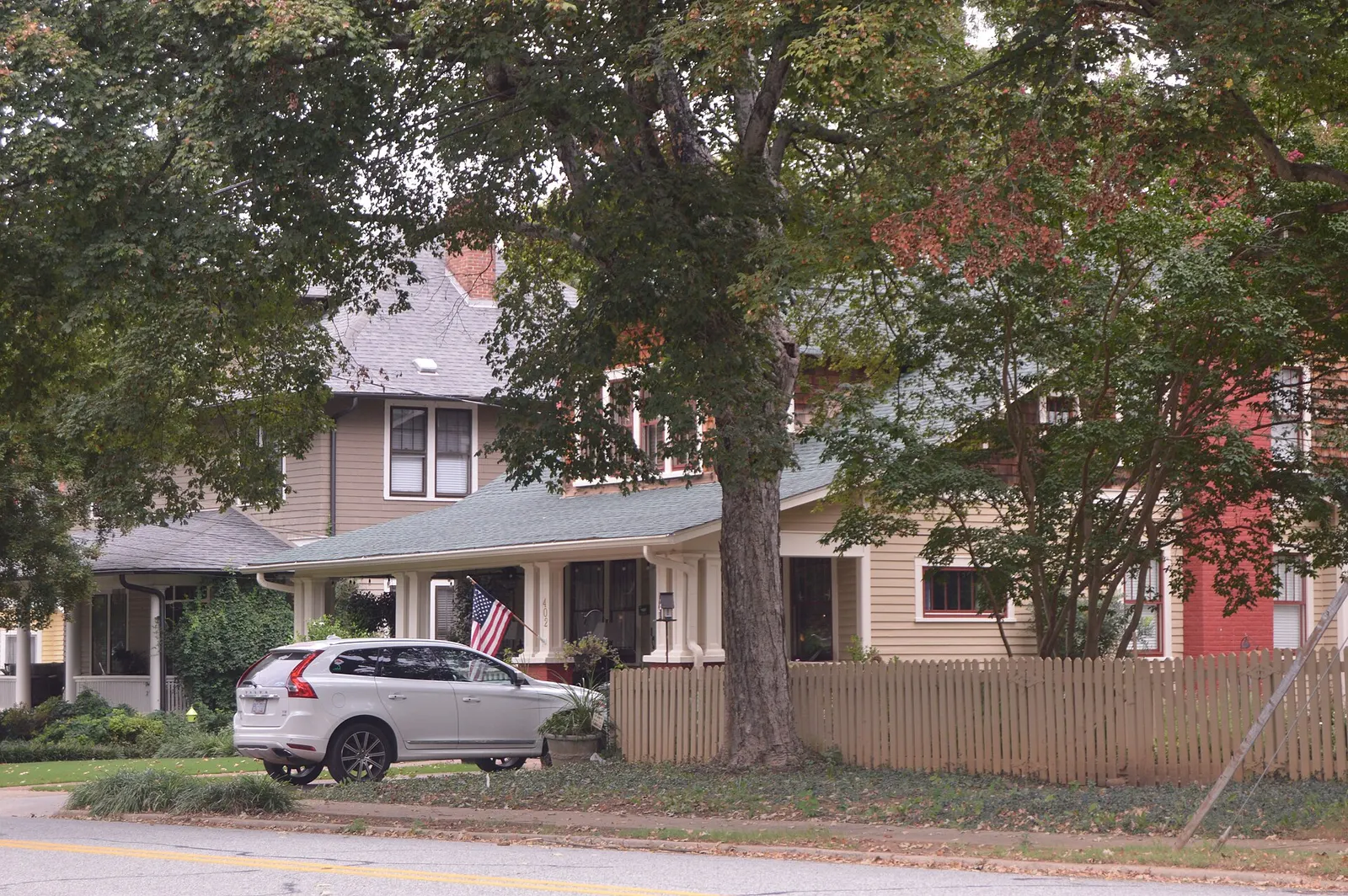
The Lexington Residential Historic District is a 264-acre National Register district west and south of Uptown Lexington with 804 contributing buildings from about 1854 to 1957. Its Queen Anne and Craftsman houses span early 20th-century subdivisions such as Park Place and Westover Heights, plus the Lexington City Cemetery.
Listed on April 19, 2007, the district takes in the Park Place, Robbins Heights, Courtenay, Rosemary Park, Hillcrest, Oak Crest and Westover Heights subdivisions. Notable buildings include Hillside (1854), the Brookshire House (1900), Wennonah Mill houses (1910) and the Parkview Apartments (about 1927 and 1930). Landscape architect Earle Sumner Draper is among the designers associated with the district.
Details
- Address
- Roughly bounded by State St, W 5th St, Martin St, Westside Dr, Southbound St and W 9th Ave, Lexington, NC, Lexington, NC
- Town
- Lexington
- NRHP listed
- April 19, 2007 (ref. 07000350)
- Area
- 264 acres
- Period
- about 1854-1957
- Contributing resources
- 804 buildings, 1 site, 1 structure
- Visiting
- Mostly private homes; view from public streets.
Sources
Spot something out of date? Email neighbors@davidsoncountyinsights.com.